Objective:
Learn about different interpolation options of the Field from Point Map block.
Procedure:
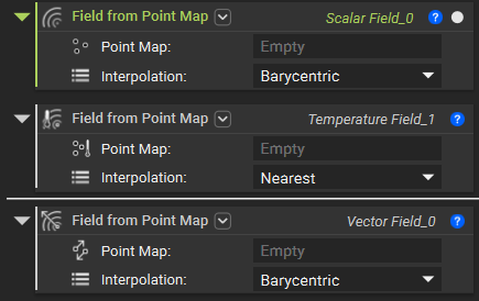
The Field from the Point Map block is used to create a Scalar, Vector, or Temperature Field using a Point Map that can be imported or created in nTop.
Interpolation:
-
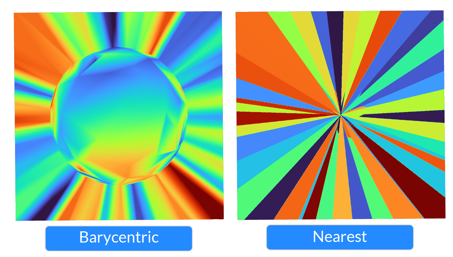
- Nearest: Values maintain the exact value of the nearest point.
- Barycentric: Values are interpolated linearly from the three closest points, which define a tetrahedral. This method is recommended for point maps extracted from tetrahedral mesh, like Von Mises Stress Point Map or Temperature Point Map.
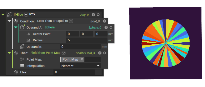
Note: All fields created will be extrapolated based on the Interpolation option. If you wish not to extrapolate, set the value 0 to everything outside the domain. You can do it with a combination of If-Else block and Less Than or Equal to block. If you have vertices instead of an Implicit Body, you can use the Delaunay Volume Mesh block to create a convex hull and use its implicit property.